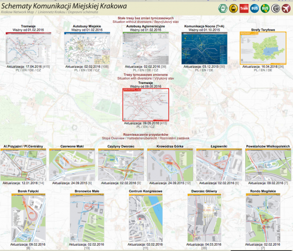
Maps of the bus and tram networks are published on this website.
The maps show temporary route changes and are available in the following versions:-
- Interactive map of combined transport network (PL)
- Tram Network (PL/EN/CZ)
- Bus – City Network (PL/DE/EN/CZ)
- Bus – Agglomeration Network (PL/EN/DE/CZ)
- Night Network (PL/EN/DE)
- Tariff Zones (PL/EN/DE)(PNG Image downloads)

